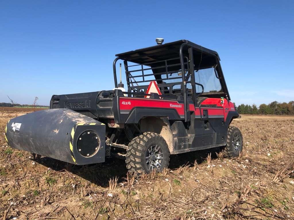
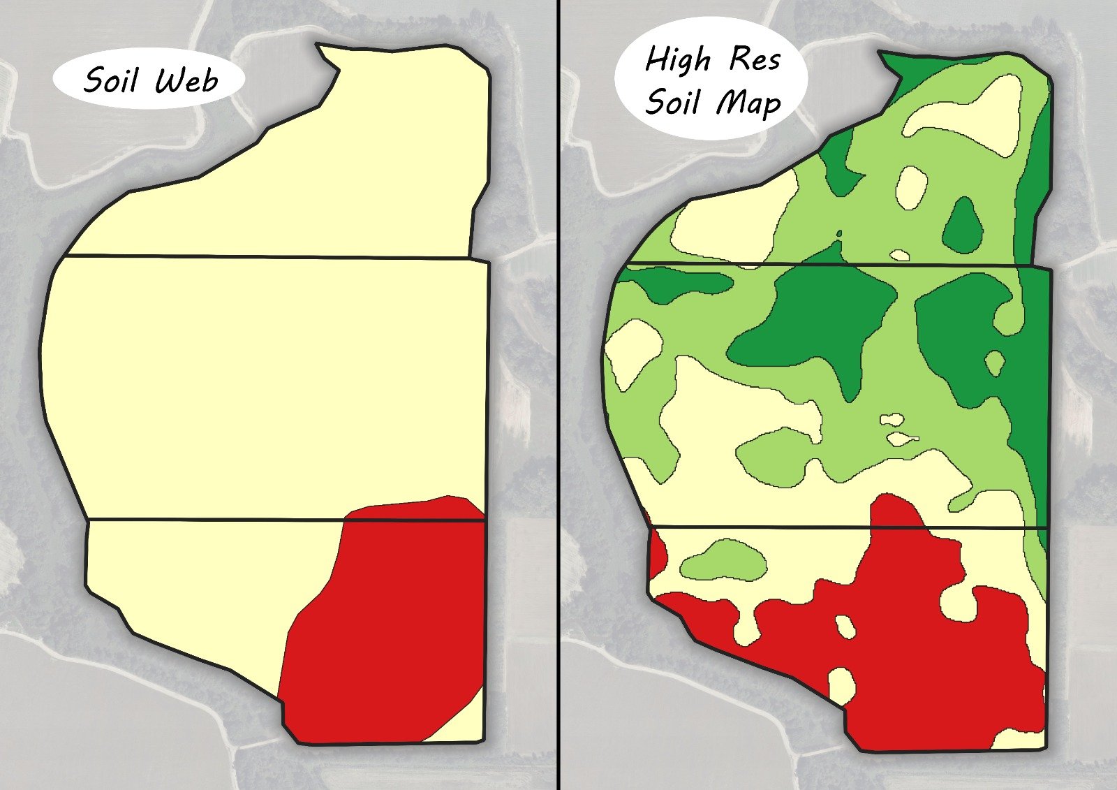
AGfarms Insight offers soil mapping and high-resolution topographic survey services using TopSoil Mapper (TSM) technology and RTK-GPS systems.
The TopSoil Mapper utilizes electromagnetic induction (EMI) technology to measure the soil's apparent electrical conductivity (ECa), providing high-resolution insight into spatial variations in soil texture, water-holding capacity, clay content, and other characteristics that directly influence agricultural productivity. By generating and measuring electromagnetic fields, the system rapidly collects georeferenced data without direct soil contact, allowing for efficient and non-invasive field-scale soil mapping. This technology does not disturb the soil surface and can be integrated with topographic and soil sampling data to support precision agriculture and land management decisions.
The collected data is combined with digital elevation models generated via high-precision RTK-GPS, providing a detailed characterization of spatial variability within each field.
The resulting maps allow for delineation of productive environments and specific management zones, facilitating decisions related to drainage, agronomic management, investment planning, and agricultural property evaluation.
What's included
- Apparent Electrical Conductivity (ECa) mapping
- High-resolution soil maps
- RTK-GPS high-precision digital elevation model
- Management zone delineation and productivity environment mapping
- Optional: grid soil sampling or management-zone-based sampling
- Custom fertilization and agronomic management optimization